Aerial + landscape · Peshastin, Washington
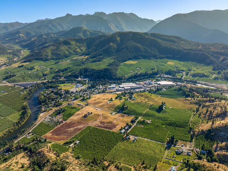
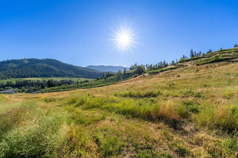
Peshastin in context: landscape, access, and scale across the frame.
Aerial imagery is most useful when it explains relationships that cannot be seen from the ground. Paired with a wider landscape view, the pattern of orchards, roads, foothills, and distant mountains becomes the story.
Why these frames work together
The image sequence should reveal more than any single photograph.
Show relationships
The aerial view reveals how roads, agriculture, neighborhoods, foothills, and mountains connect.
Use altitude selectively
A lower perspective can preserve texture and human scale; a wider panorama explains the larger geography.
Build a sequence
Ground photography, lower aerials, and wide establishing views work together more clearly than a collection of unrelated high-altitude frames.